Mumbai Rains: Worli Metro Station Floods Like a River, Video Sparks Outrage
Unusual Rain Patterns Continue in MP Ahead of Monsoon’s Official Arrival
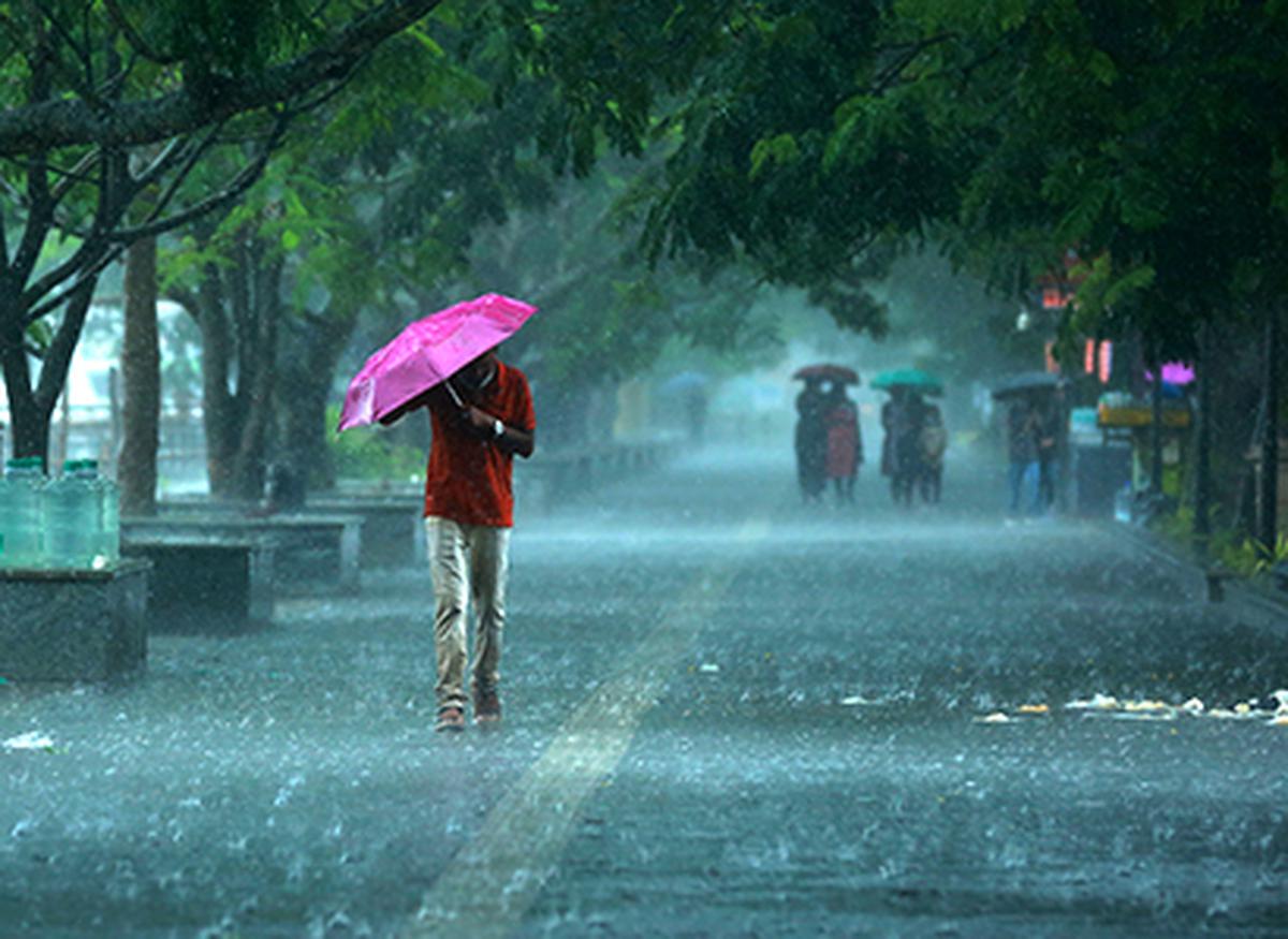
Madhya Pradesh is experiencing a peculiar weather pattern as intermittent rain continues to fall across the state, providing much-needed relief from the scorching heat. The southwest monsoon, however, has not officially arrived yet, and its expected arrival after June 10 is causing a stir among weather experts. With continuous rain, humidity, and unusual atmospheric conditions, people are wondering if this is a sign of a major weather shift.
Unusual Rain in Madhya Pradesh
Although the southwest monsoon typically enters India through the coastal regions, it is yet to reach Madhya Pradesh. Despite this, the state has been experiencing consistent rainfall due to the effects of a cyclone and atmospheric moisture. Meteorologists suggest that these factors are pulling moisture from the upper layers of the atmosphere, causing unexpected showers.
On Tuesday, Madhya Pradesh saw varying amounts of rain across different cities:
-
Raisen recorded 26 mm of rain
-
Khargone saw 22 mm of rain
-
Indore-Sagar received 8 mm
-
Bhopal reported 1.6 mm
Even smaller towns in the state are not left untouched, as this unseasonal rain is impacting temperatures, which have stayed below 40°C, offering some relief from the heat.
Indore and Other Cities See Sudden Showers
In Indore, light rain began on Tuesday morning, but by the afternoon, heavy rain started at 2:45 pm and lasted for about 40 minutes. The temperature dropped to a comfortable 31.3°C, which helped to cool down the otherwise hot city. The Meteorological Department has issued an alert for light to moderate rain in the coming days, but the overall impact is expected to intensify after June 10.
The Monsoon Forecast After June 10
According to weather experts, the monsoon is expected to make its full entry into Madhya Pradesh after June 10, when a change in wind patterns and humidity will likely trigger more intense and continuous rainfall across the state. The prolonged heatwave, also known as “Navtaap,” which previously kept temperatures above 40°C, has now subsided, with temperatures dropping below 35°C.
This weather shift, caused by the cyclone activity in neighboring Haryana and Uttar Pradesh, is being closely monitored as a potential precursor to a more significant monsoon.
A Mysterious Weather Shift
While the absence of the official monsoon hasn’t deterred rain in the region, experts are still puzzled by this early onset of rainfall. Could this be a sign of climate change, or is it simply a strange weather anomaly? The full picture will likely become clearer in the days following June 10 when the monsoon’s full impact is expected to unfold.
Until then, the state remains in suspense, with unpredictable weather surprising both locals and meteorologists alike.